
Project-Ready GIS for Regional Impact
The APSU GIS Center helps city and county leaders, emergency management teams, and economic development organizations across Tennessee and Southern Kentucky move from data to funded action.
Core GIS Service Areas

Public Safety & Resilience
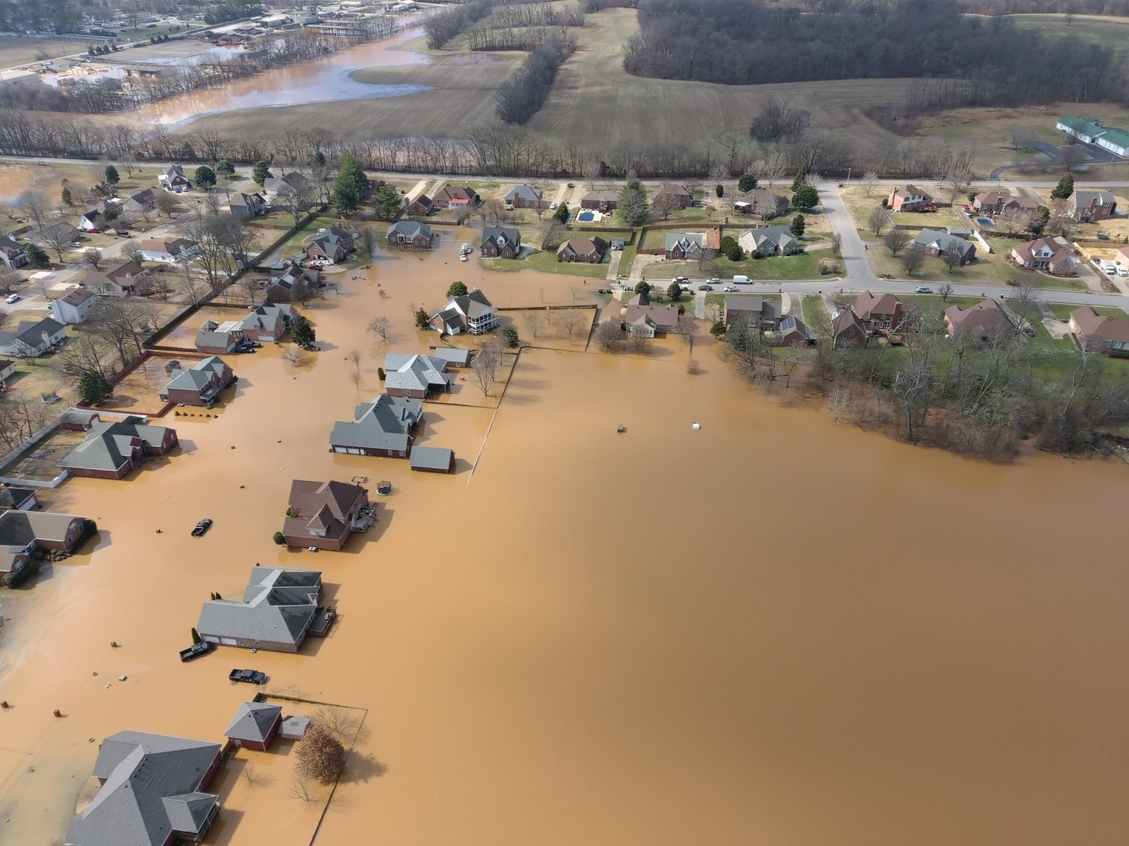
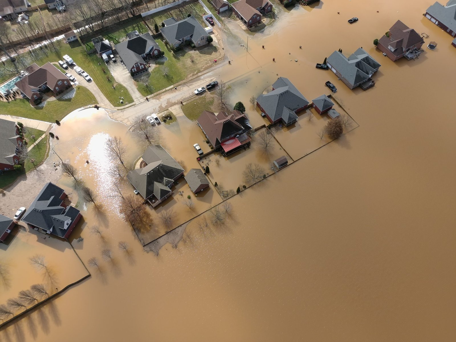
Rapid aerial mapping, incident-ready overlays, and 3D digital twins of critical infrastructure that help emergency managers and first responders plan, react, and recover faster.
Municipal Solutions & Stormwater
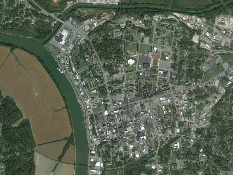
NPDES/MS4 compliance mapping, asset inventories, and utility data that keep public works teams audit-ready without the overhead of an enterprise engineering firm.
Economic Development
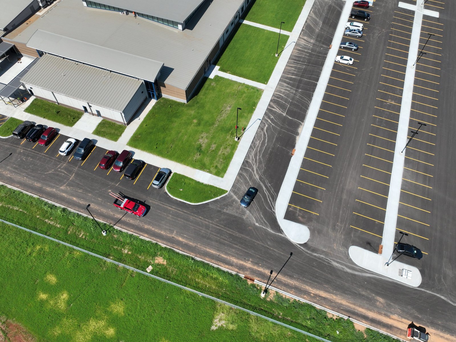
Site suitability analysis, workforce demographics, and grant-ready data packages that strengthen funding narratives and investment decisions.

Infrastructure & Facilities Mapping
Interior facility mapping, utility and infrastructure asset data, and BIM-ready wayfinding products for campuses and public facilities.

The University Geospatial Advantage
We aren’t just a vendor — we’re a strategic partner. As a unit of Austin Peay State University, the GIS Center operates with a mission of public service, not profit, and has served the Clarksville-Montgomery County region for more than 23 years.
Our University Advantage model pairs expert staff with student researchers to deliver professional-grade GIS, drone, and data science services that maximize your budget while training Tennessee and Kentucky’s next geospatial workforce.
Public Mission, Not Sales Quotas
As a research and service center within Austin Peay State University, we deliver objective, science-driven analysis — not upsells or proprietary software lock-in.
23+ Years of Regional Expertise
From the 1999 Clarksville tornado to today’s UAV fleets, we’ve been a trusted GIS and disaster-response partner in this region for over two decades.
Budget-Maximizing Delivery
Our university structure pairs expert staff with trained students, delivering professional-grade results at a fraction of private-firm rates.
Why Agencies Choose APSU GIS Center
-
Strategic Economic Development Partner
Beyond mapping — we deliver demographic, workforce, and site-selection intelligence that helps you attract investment and win competitive grants.
-
Proven Public Safety & Resilience Record
Two decades of field-tested UAV damage assessment and pre-incident facility mapping trusted by regional emergency managers.
-
Active Federal, State & Private Funding Portfolio
Current partnerships with Fort Campbell, NASA (via Meharry), TBR, and Google demonstrate credibility across every funding tier.

What Regional Partners Report
“This was definitely a community effort with several different organizations coming together to provide a better trail experience for our visitors and prevent people from getting lost in the park.”

Sally Read, Director, Montgomery County Parks & Recreation
“Joey’s assistance and expertise brought this design to a whole new level.”

Katie Netti, Programming Supervisor, Montgomery County Parks & Recreation
Need a Project-Ready GIS Roadmap This Quarter?
Tell us your priorities, timeline, and funding goals — we’ll scope a plan built around them.
